Services
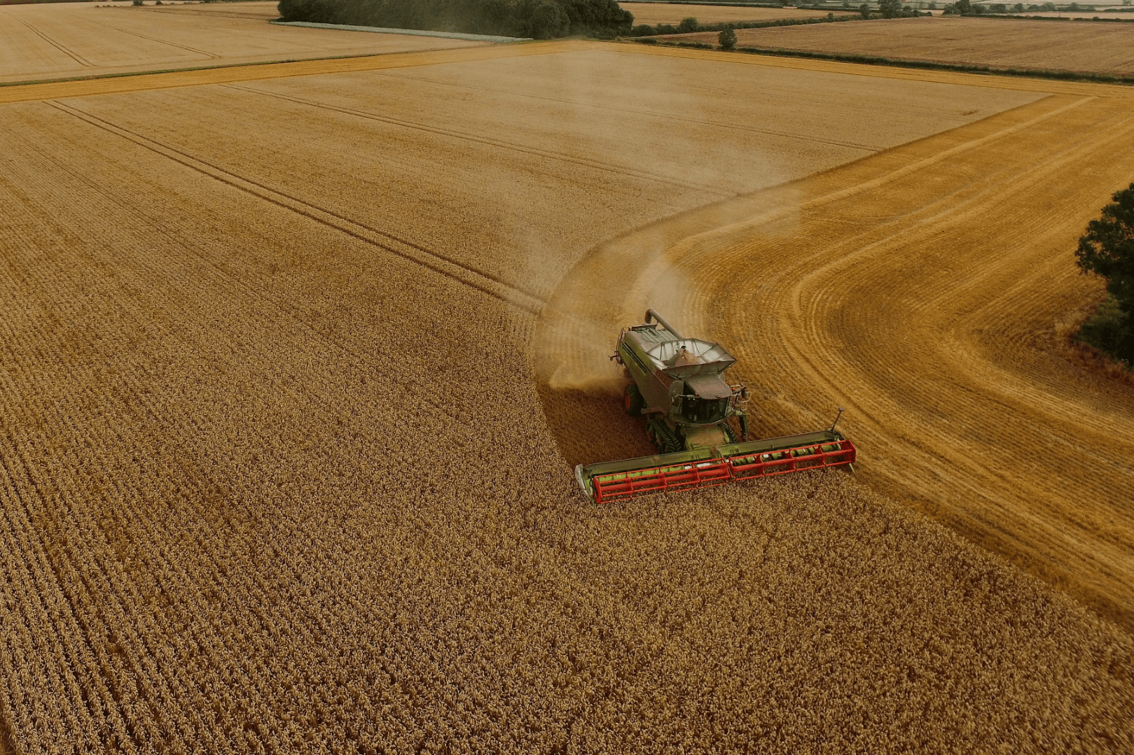
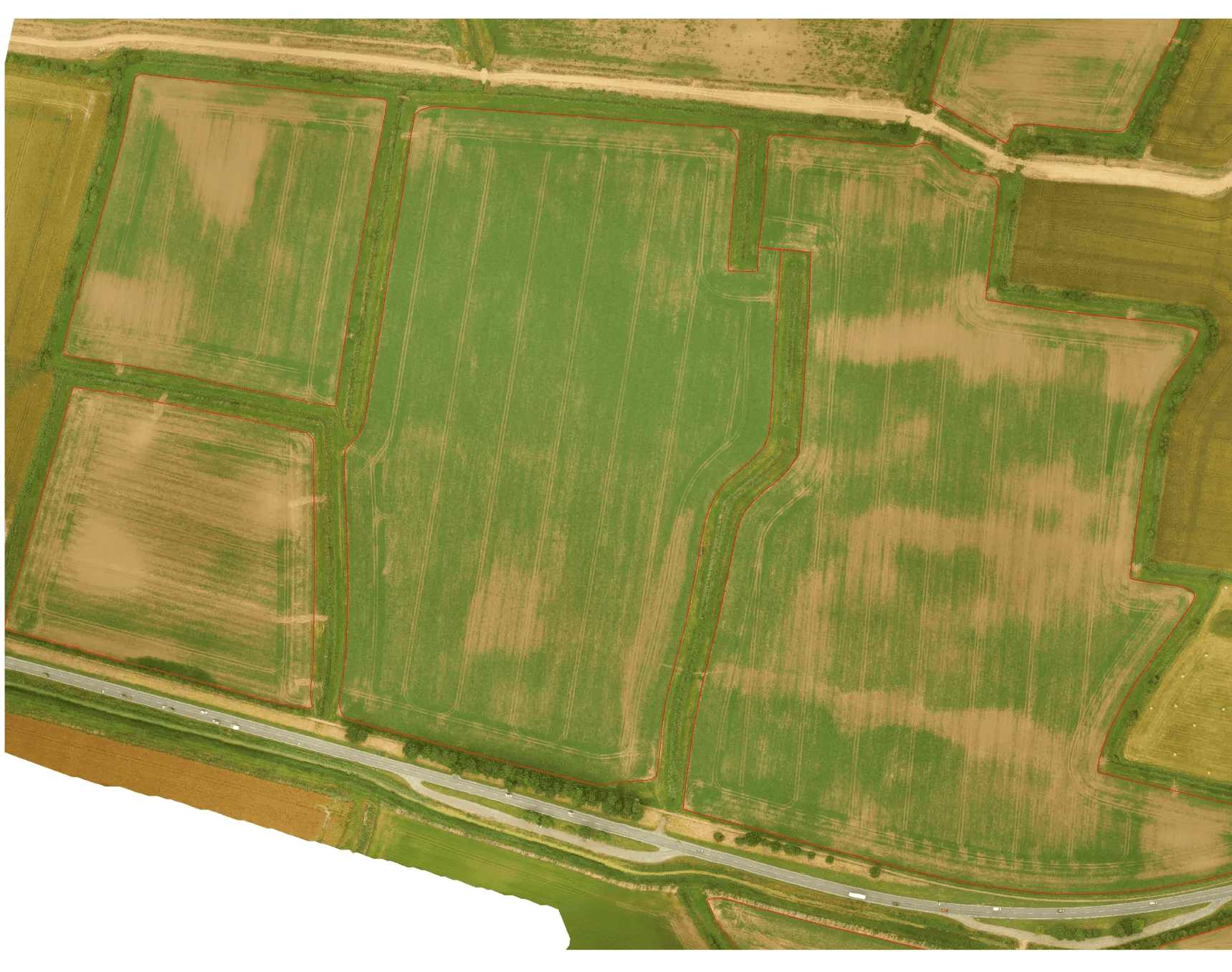
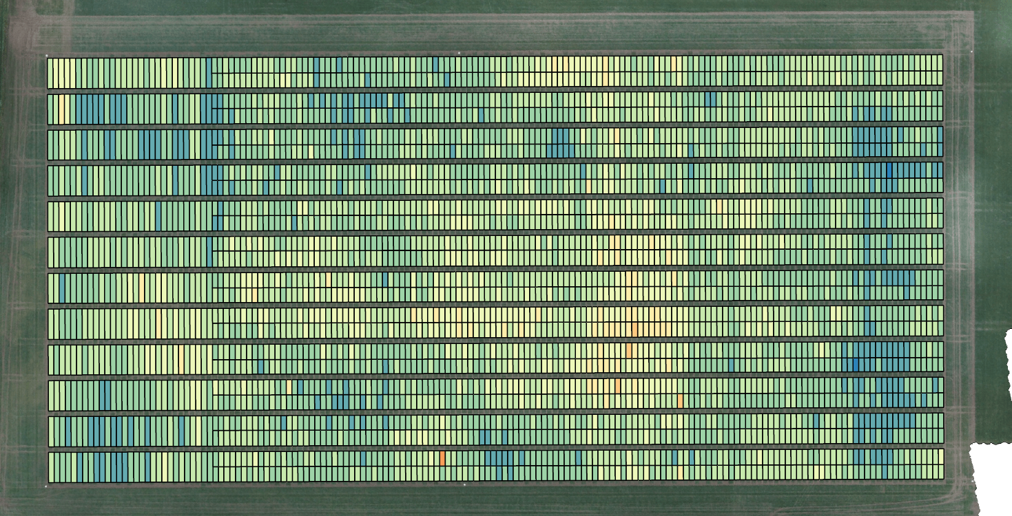
Agriculture

Drone-Assisted Precision
Agriculture
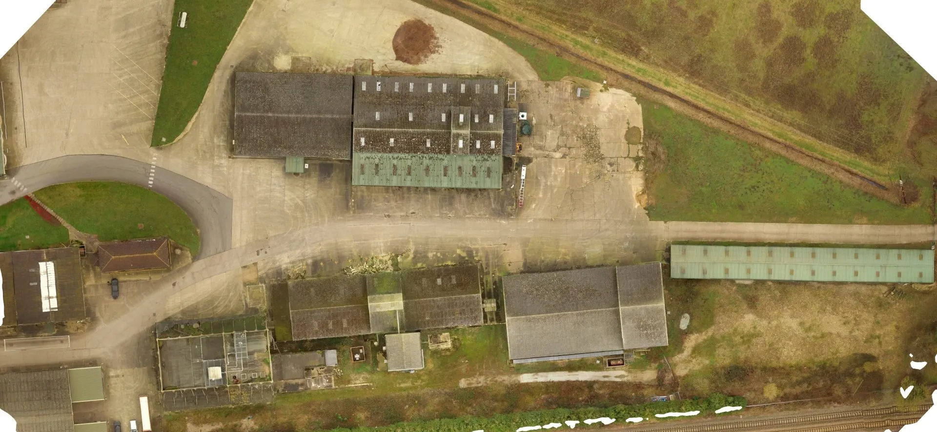
Commerical
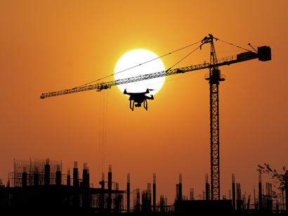
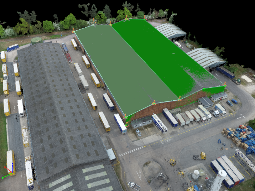
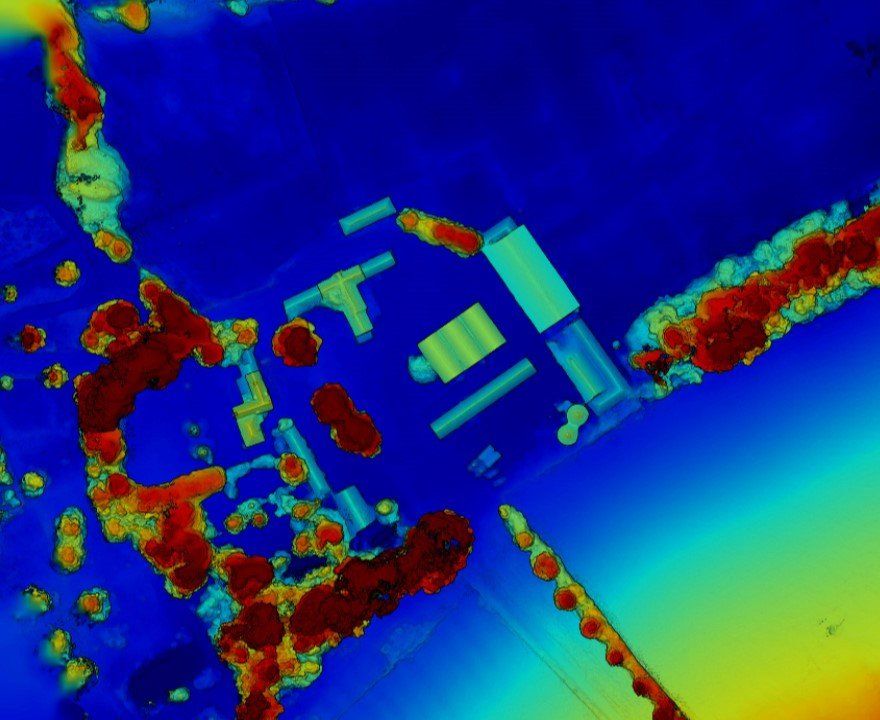
Construction | Mining | Energy
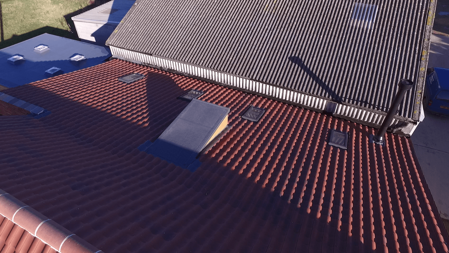
Photography & Videography
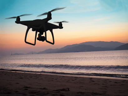
Capturing from the skies
Fully Certified and Insured
All pilots hold a PFCO with public liability up to £5million.
Safety
Each operation is carried out with a site survey form and risk assessment with safety at the forefront.
Share
Quick turnaround time from data capture to reporting.
Our Work


